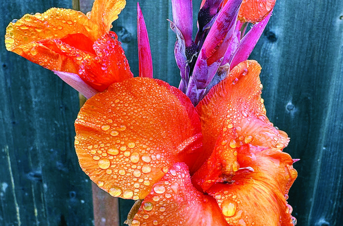
Cold rain showers managed to slip in the door before October wrapped up, with temperatures dropping and a dowsing shower early Thursday morning.
Meteorologist Dial Hoang of the National Weather Service of Monterey said the colder, wet system moved into the region from the Pacific Northwest and will be followed by another similar system, arriving later today.
“This low pressure system will move in Friday evening and extend into Saturday in the Watsonville area and give us another shot of rain,” Hoang said. “Today’s high will be around the mid-60s and tonight’s low will be around 43 degrees.”
Starting Sunday a “warming and drying trend” will seep into our area and continue at least into mid-week with daily highs in the mid-70s.
“That should continue through Thursday,” Hoang said. “The rains this week — Friday and Saturday — could bring a rainfall total of a half-inch in the lower regions and around three-quarters of an inch in the mountains.”
Meanwhile, on a longer range, meteorologist Dalton Behringer said that looking forward through January “there are no strong signals for el niño or el niña weather patterns —heavy rain and drier conditions— predicted yet for the Central Coast. “Of course, this depends on many factors. But right now, it appears November into January looks to be edging toward a 33% chance of above average temperatures.” He added that, at this point, precipitation appears to be sitting on the fence, meaning there are no strong indicators that rain will be heavy or light.
“That outlook, of course, can always change.”


