CENTRAL COAST—Though the CZU August Lightning Complex fire is now more than 86% contained in the Santa Cruz Mountains, the sky and weather do not reflect that progress.
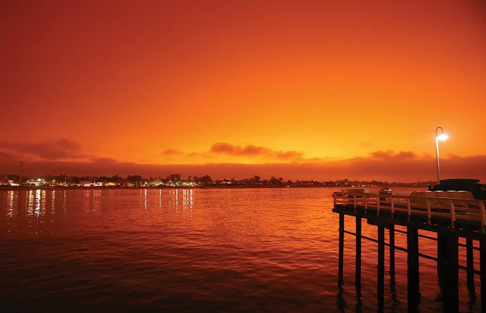
An orange-brown layer of smoke blanketed the sky Wednesday and by 3pm it was dark. Similar conditions stained the skies Thursday.
On Wednesday vehicle headlights were on in daylight because their onboard computers told the sensors it was night. Around Santa Cruz County street lights were on by 2pm, their sensors fooled by enveloping smoke blankets.
“Cooler weather will help alleviate much of the smoke we’re seeing,” said meteorologist Steve Anderson of the National Weather Service of Monterey. “We’re looking at more normal temperatures because of a cooler sea breeze and that should mean an increase of air quality into the weekend.”
The cooler weather permeating the region now is a drastic change from Monday’s record-breaking heat along the Central Coast and around the state. Record-breaking temperatures at the start of the week included King City, at 109 degrees, Gilroy, 112, Hollister, 113, and Big Sur at 113.
Most of the smoke in the Central Coast is drifting south from fires north of Chico and Redding, meteorologist Brayden Murdock said.
“The smoke is around 2,000 to 6,000 feet,” he said. “That’s why it doesn’t seem smokey but it looks that way.”
On the horizon, Anderon said a slight warming trend will wander into the Central Coast into the weekend, but nowhere near the baking heat that wilted the area recently.
“We still won’t see the blue sky for quite some time,” Anderson said Thursday. “But things will get better as we go into the weekend.”


