
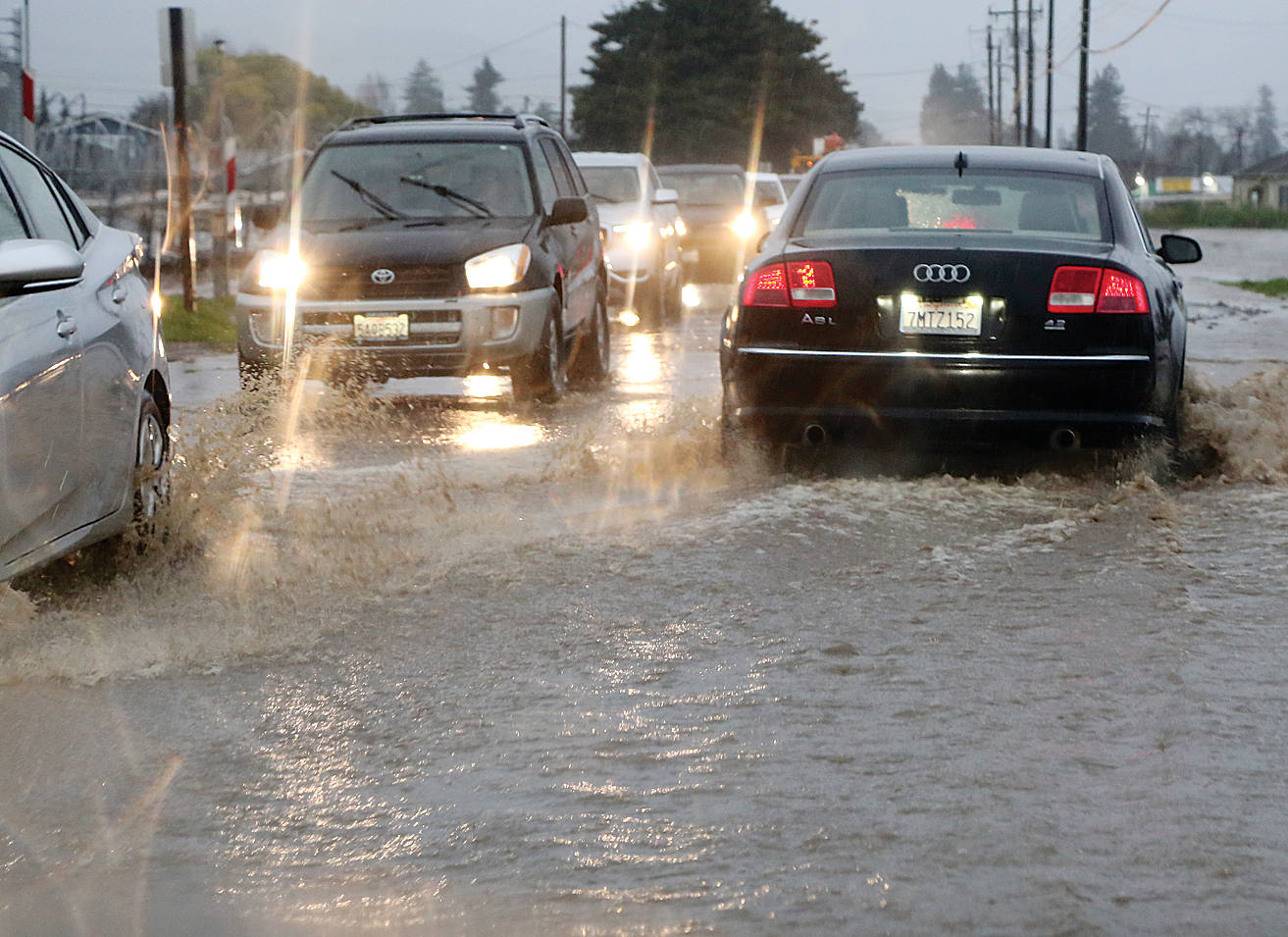
Meteorologists are predicting a wet El Niño winter this year, with above-normal ocean temperatures potentially bringing heavy rain and flooding.
“We are in a very strong El Niño index right now where we are seeing above-normal temperatures along the coast,” said National Weather Service meteorologist Anamaria Navarrete.
Robert Lund, a statistical climatologist at UC Santa Cruz, told KSBW that “we are probably looking at the strongest El Niño in our recorded lifetime.”
Navarrete said the warming conditions can contribute to elevated sea levels.
“With warmer waters, swells from distant hurricanes in combination with possible winter atmospheric rivers, we could face major consequences,” she said. “This could also bring on astronomical tide activities, major beach erosion and damage to area harbors. We can’t say for sure, but it is something we are keeping an eye on.”
Navarrete added that National Weather Service forecasters are projecting above-average precipitation, with a chance of wetter-than-normal conditions.
She advised the public to stay aware of changing weather conditions, especially during severe weather, by visiting weather.gov/bayarea.
People in low-lying areas should remain especially aware, Navarrete added.
The public can also get valuable alerts and information by signing up to CRUZ AWARE at CruzAware.org.