
Santa Cruz County residents can expect another round of dangerous ocean conditions, heavy rain and strong winds this week, with officials warning of possible rain, flooding, power outages and travel delays.
A High Surf Advisory will be in effect from 4pm Wednesday through 4pm Thursday, with breaking waves reaching 15–18 feet along the coast, according to the National Weather Service.
The advisory comes as another series of storms moves through the region, bringing rain and potentially hazardous conditions through much of the next week.
Forecasters say Santa Cruz could receive 1–2 inches of rain Wednesday, with additional showers expected Thursday and a slight chance of thunderstorms.
A Wind Advisory is also in effect until 1pm Wednesday, with gusts potentially reaching 44 mph in Santa Cruz. Strong winds could bring down tree branches and power lines, causing outages.
The National Weather Service warned that heavy rainfall could cause localized flooding, particularly on roads and in areas with poor drainage.
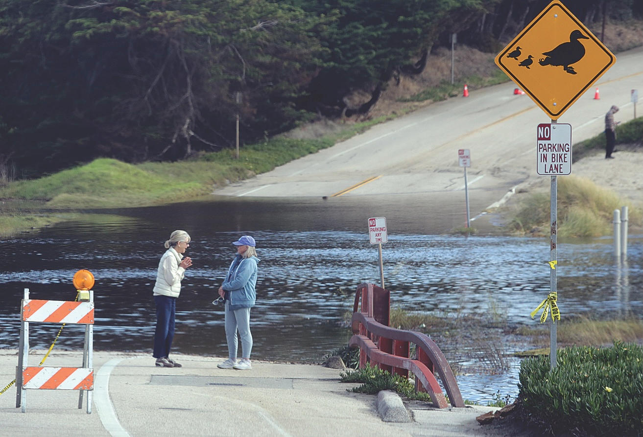
East Cliff Drive at Corcoran Beach remains closed after high surf over the weekend sent ocean water onto the roadway.
County officials are urging motorists to obey posted road closure signs, avoid driving around barricades and use alternate routes until the roadway is safe to reopen.
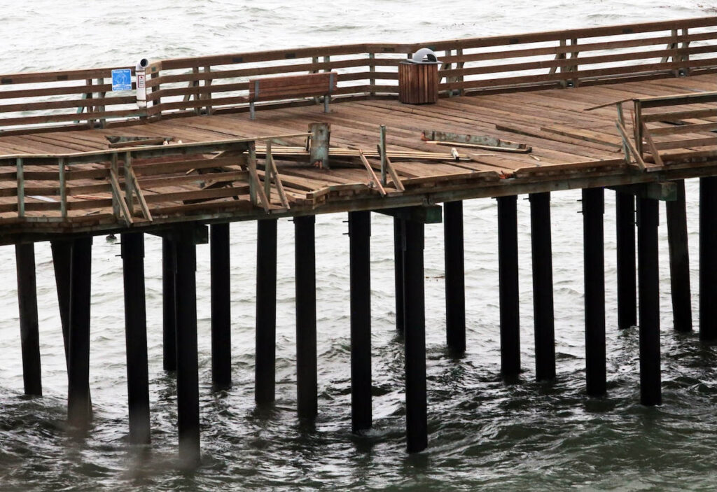
Additionally, Capitola Wharf was closed after heavy surf damaged the boards and pilings.
Even shallow water can create hazardous driving conditions, officials warned.
In Watsonville, city crews spent Wednesday helping residents prepare for possible flooding, distributing more than 900 sandless sandbags to senior citizens and people living in flood-prone neighborhoods.
Dozens of senior residents lined up in the rain at Joyce McKenzie Park to receive the lightweight, water-activated sandbags, which were made available through a donation.
The bags were intended to help seniors who may have difficulty lifting traditional sandbags.
City crews also worked through the rain, filling traditional sandbags and loading hundreds of pounds of them into residents’ vehicles.
Watsonville’s self-service sandbag stations remain open to city residents at Joyce McKenzie Park, 500 Joyce Drive, and Fire Station 1, 115 Second St.
Residents should bring a shovel and someone to help fill and transport the bags.
In a Facebook post Wednesday, Santa Cruz County officials warned residents and visitors to stay away from beaches, rocks and jetties, where powerful waves and strong rip currents could create hazardous conditions.
Sneaker waves, which can surge unexpectedly much farther up beaches than surrounding waves, pose a particular danger to people walking near the water.
Officials urged beachgoers never to turn their backs on the ocean.
The county also warned that intermittent rainfall could cause flooding, power outages and hazardous driving conditions.
Motorists are encouraged to slow down, allow extra travel time and avoid driving through flooded roadways.
Residents should also prepare for possible power outages and monitor changing weather conditions.
Rain is expected to continue Thursday, with a chance of thunderstorms and gusty winds accompanying heavier downpours. Temperatures are expected to reach the upper 50s.
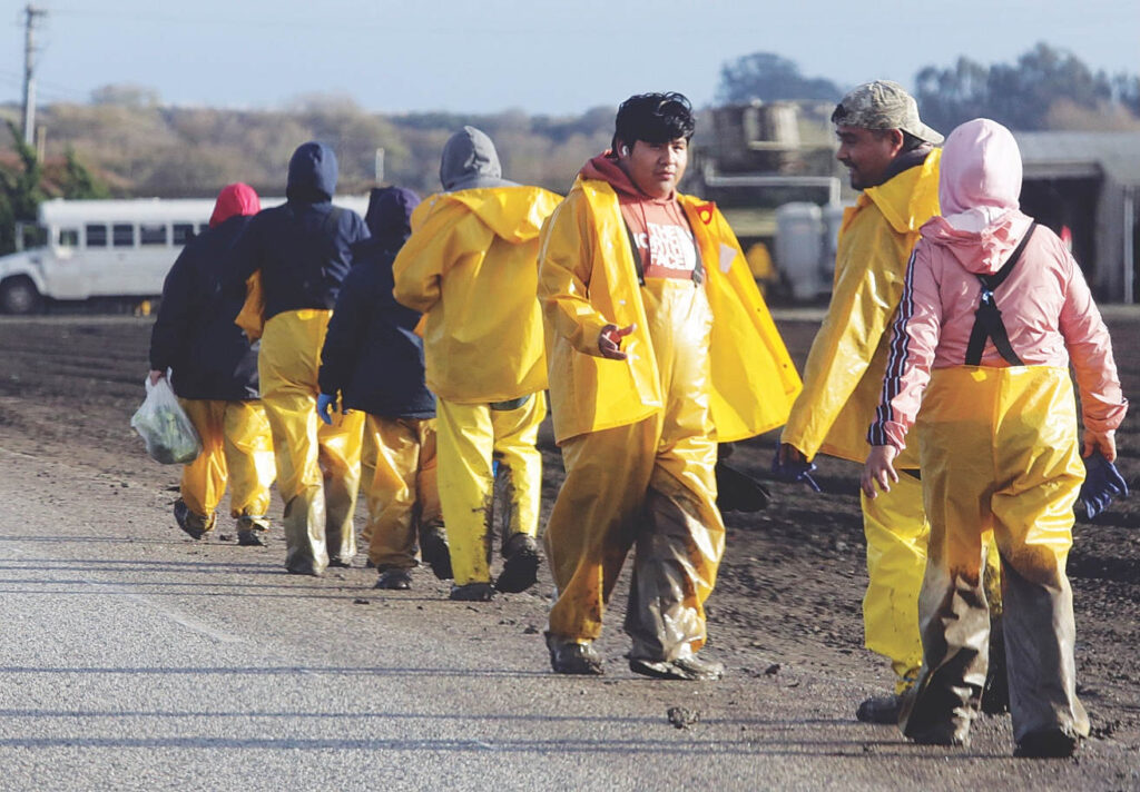
Conditions should improve Friday, with partly sunny skies and temperatures reaching the low 60s, although isolated showers remain possible early in the day.
Saturday is expected to be mostly cloudy, with temperatures reaching the mid-60s before another round of rain arrives Saturday night.
Showers are expected Sunday, with more widespread rainfall possible Sunday night into Monday.
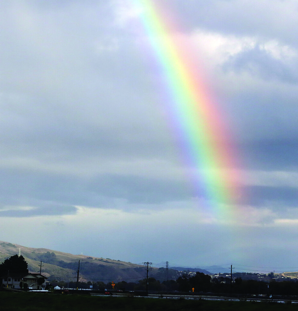
The unsettled weather pattern could continue into Tuesday, with additional rain forecast across the region.
The latest weather forecasts and advisories are available from the National Weather Service at weather.gov/BayArea.
Storm preparedness information is available at watsonville.gov and santacruzcountyca.gov/or3.aspx.